TemsDrones,
AI Solutions & Services
From providing real-time monitoring for construction projects to telecommunication asset analysis,
TemsDrones offers innovative drone and AI services tailored to your needs.
Whether you're overseeing a building project from afar, ensuring the quality of road construction, or
enhancing security with covert surveillance, our advanced technology and expert team are here to support
you. Discover the future of aerial solutions with TemsDrones.

Our Services

Construction Monitoring for Nigerians in Diaspora
Stay connected to your building projects in Nigeria from anywhere in the world. Our drones provide regular visual updates, ensuring you can monitor progress and quality without being on-site.
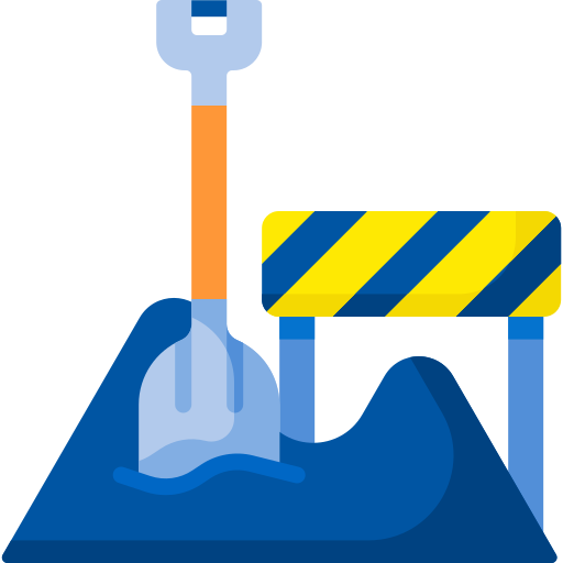
Road Construction Monitoring and Analysis
Ensure the quality and progress of road construction projects with our drone services. We use AI to analyse images, measure material quantities, verify grades, and track overall progress.

Pothole and Road Repair Detection
Identify and address road issues quickly with our drone monitoring services. Our AI analyses captured images to detect potholes and areas needing repair, helping maintain road safety and quality.

Covert Surveillance for High-Risk Areas
Enhance security in high-crime or terrorism-prone areas with our covert drone surveillance. Our discreet drones provide real-time monitoring to help keep communities safe.
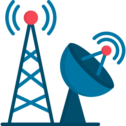
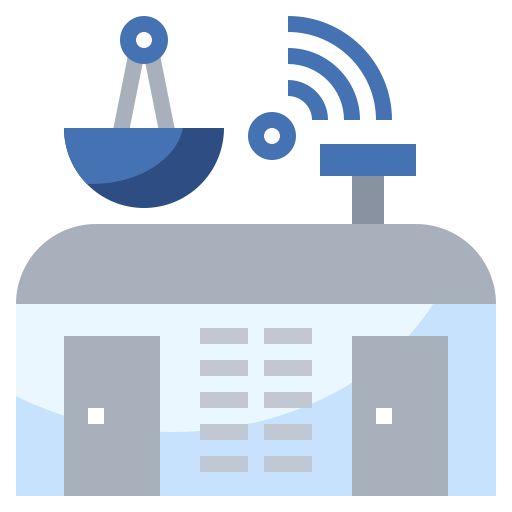
Telecommunication Asset Monitoring
Monitor and maintain telecommunication infrastructure such as towers, base stations, and fiber optic cabling. Our drones and AI analyse images to measure material usage, verify grades, and track construction progress.
Drones Control Center
Centralise all your drone-related activities with our Drones Control Center. From monitoring to data analysis, our center provides a hub for all your aerial technology needs.
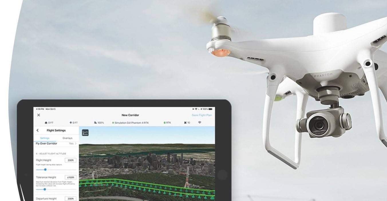
PMPplanner is the first project management tool to capture, process, and intelligently analyse real-time data from drones or other sources highlighting the evolving status of all Infrastructure Projects.
Images and videos can be captured via cameras, drones, or satellite feeds and used to track the status of infrastructure projects such as roads, buildings, and all other physical infrastructure projects, etc.
The image or video data together with other project information is used to generate text/visual infrastructure reports on all projects.
The drones using custom developed PMPplanner AI Modules can interpret or intelligently analyse real-time images and provide instant notification to any device via Wi-Fi in-flight.
For more information, please contact Joy on +234 816 965 0590.
Contact Us
Get In Touch
Please get in touch by filling in the following form: